The Tata Trusts’ enduring commitment to creating and supporting high-quality institutions is finding newer forms of expression

COVER STORY
On the map and in the loop
As India urbanises, small towns are emerging as critical sites of transition. Yet these towns are often ill-equipped to manage rapid and unplanned urbanisation, facing a host of difficulties in delivering basic services, addressing inequities and preparing for disasters.
A key challenge in low-income settlements in these small towns and semi-urban spreads is the absence of formal, verifiable household addresses. This limits residents’ access to essential services. Simultaneously, urban local bodies face constraints in planning, prioritisation and service delivery due to the lack of reliable spatial and infrastructure data.
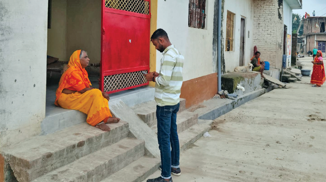
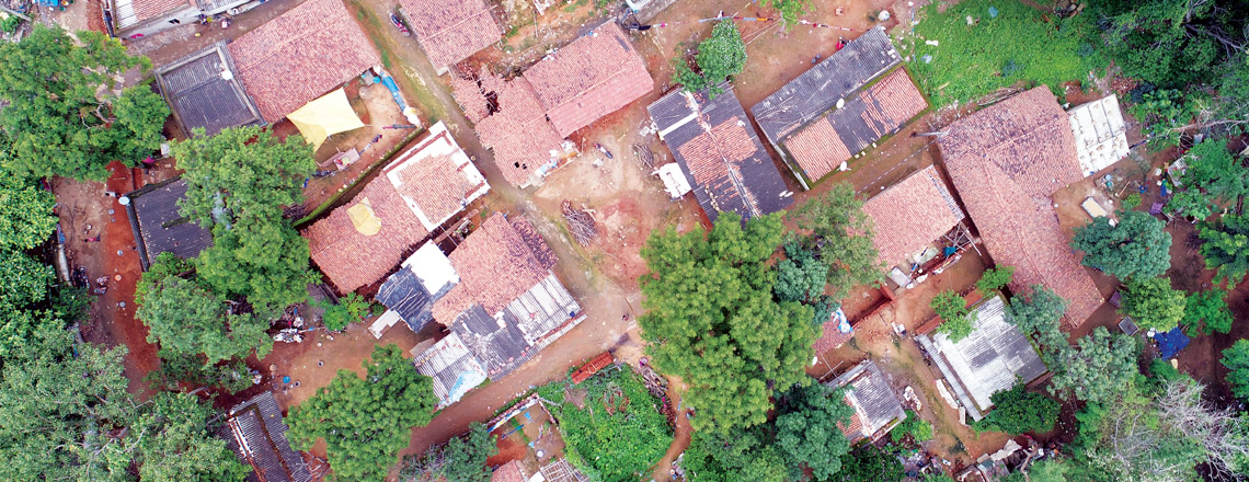
A Tata Trusts programme in Uttar Pradesh is currently engaged in the spatial mapping of three towns close to Lucknow, the state capital: Mohanlal Ganj, Banthra and Ram Sanehi Ghat. When it’s done, every building, home, water body and road in these towns will have a digital address, which means they can be included in urban planning and management.
When the state government launched its Akankshi Nagar Yojana (aspirational cities programme), the aim was to develop small and transitioning towns — taking 100 at a time — that had been left out of larger urban reform initiatives and provide them with better infrastructure and amenities. This is essentially an urban planning and systems strengthening initiative for smaller centres lacking the resources for the rapid and inevitable urbanisation they are caught up in.
The Trusts have collaborated with an organisation called Shelter Associates to undertake spatial mapping of the three towns. The project maps the urban landscape at a granular level, capturing key infrastructure and public assets. The resulting maps provide authorities with a clearer understanding of what exists on the ground and where gaps in infrastructure and services are.
Homes ahoy
Drones are the unlikely allies in a programme that employs eye-in-the-sky technology to help provide land rights to 1 million slum dwellers in Odisha’s urban centres
READ MOREThe programme has also incorporated the DigiPin system introduced by the Department of Posts, which takes the familiar concept of a pin code a step further. While a conventional pin code typically covers an entire neighbourhood or area, a DigiPin provides a precise digital address for a specific location, making it possible to identify individual homes and structures.
This is particularly useful in dense settlements where conventional addresses may not clearly identify a particular household. It can help emergency services locate homes quickly, enable doorstep delivery of goods and services, and make it easier for authorities and service providers to reach households.
“The data has brought insights while also highlighting gaps,” says Bigrai Narzari, programme officer, urban inclusion, with the Tata Trusts. “Now local bodies have a better idea of where they stand with respect to civic infrastructure in these three towns, and how problems can be addressed in their overall plans.”
Related articles

The well-being of Mumbai’s sanitation employees — an invisible workforce the city turns a blind eye to — is at the heart of Mission Garima

Mission Gaurav was a blessing for 1.37 million migrant families during the pandemic, but its true impact goes beyond the numbers and the immediate need

Bringing the children of migrant workers in Maharashtra's sugar belt back from the cold and into the formal education system has fetched encouraging results